|
Problem Gallery. |
|
The vertical dBZ profile.
The Vertical profile of reflectivity is the main factor in the
accurancy of precipitation measurements at distances of 50-250 km. The
origins of large bias of 2-20 dB are based on the difference between the
actual reflectivity of ground level and in the contribution volume
aloft. |
 |
|
Attenuation by precipitation.
dBZc = dBZ
+ 2C*r*sum(ZE )- this equation is used for getting
corrected values of attenuation by precipitation.
. |
 |
|
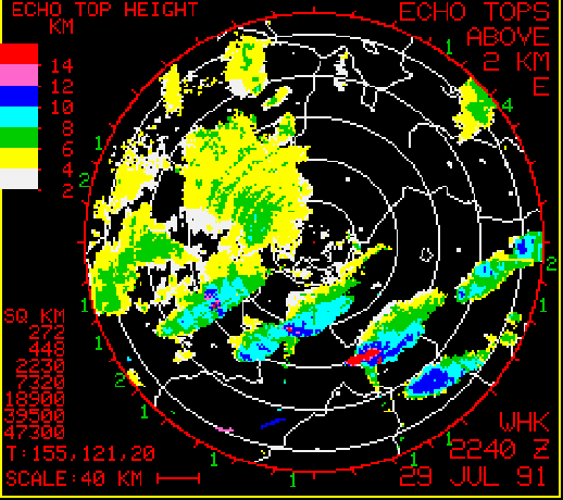
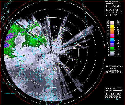
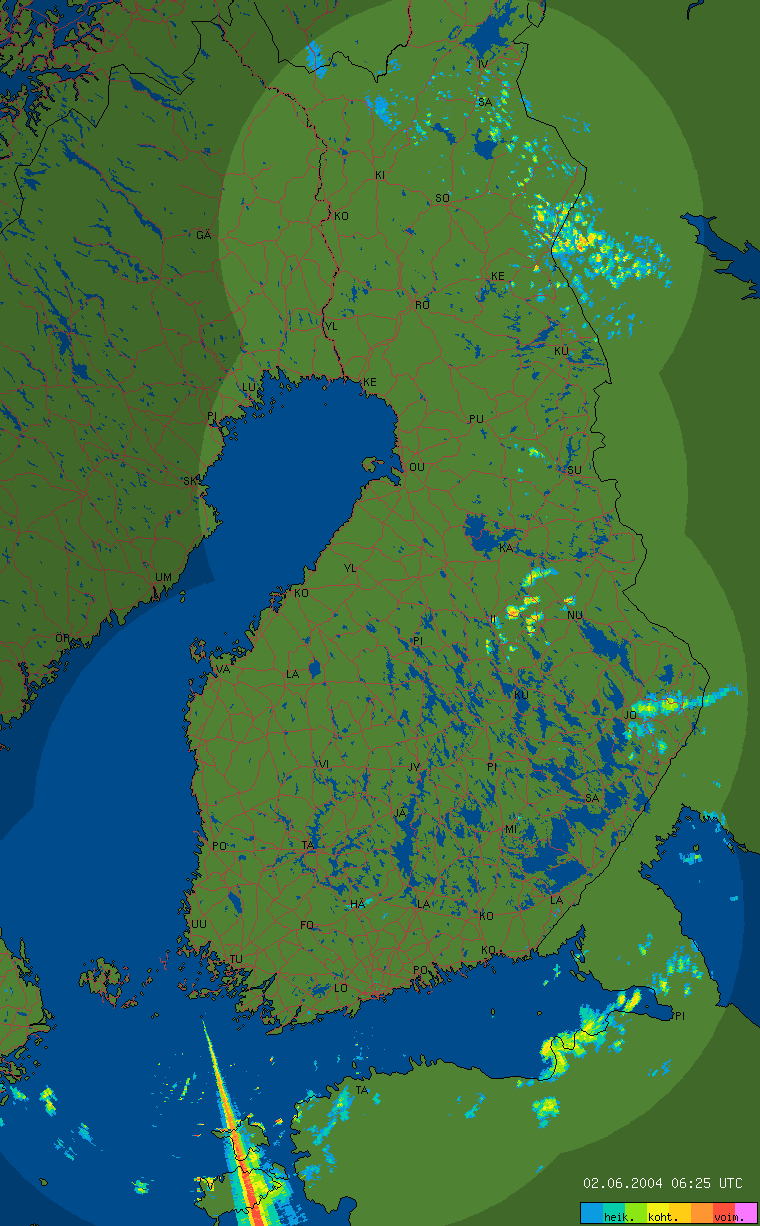
Total beam overshooting.
Total beam overshooting influences the range limit of radar. This
range limit depends on elevation angle and cloud top height. It is worth
sitting radar to place, that gives lower elevation angle. |
 |
|
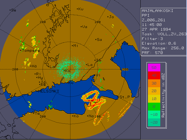
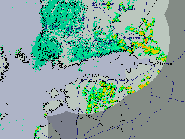
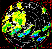
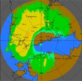
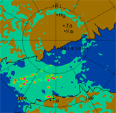
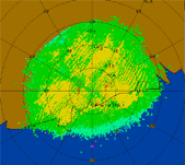
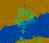
Sea clutter.
Sea clutter is a spesific form of spurious echo feature. The main
reason of its formation is partial radar beam anomalous propagation above water
bodies, i.e. ducting. The method that is able to treat sea clutter, is successful, if
only it can identify multiple modes of the reflictivity spectrum and
treat each mode differently. |
 |
|
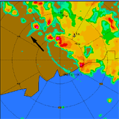
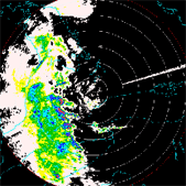
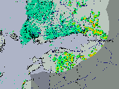
Ground clutter.
It occurs independently of propagation conditions. It can be
permanent and severe. Its occurance depends on radar location and on its
scan strategy configuration. Minimization of ground clutter effects
depends upon intelligent siting and signal processing. |
 |
|
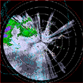
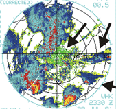
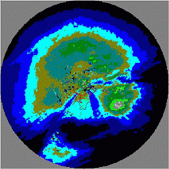
AP clutter.
AP (anomalious propagetion) is a mirage on a radar. Ground clutter, high
superrefraction, echos beyond max unumbiguous range and biolife,
mountains are common AP signatures. If there are data
from more than one radar, AP and false echos are easy to identify,
because the neighboring radars generally won't see the same thing. If
there is the only radar but it is possible to look at different
elevation angles, it can be found that AP tends to be confined to the
lowest elevation angle. |
 |
|
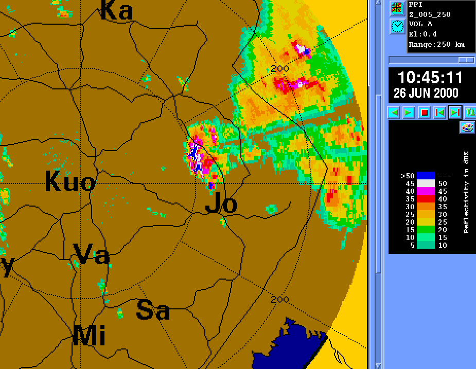
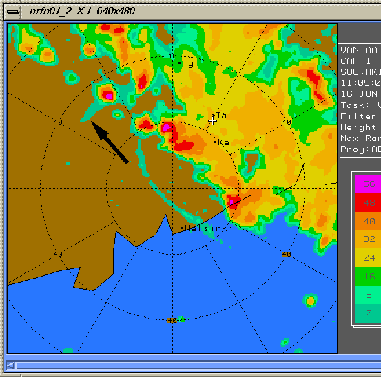
Hail.
Hail is one of problems in precipitation measurements.
There is a method for detection summer hail, developed by Waldvogel.
The matter is that the presence of hail is likely, when radar
reflectivities of 45 dBZ are observed at 1.4 km above
freezing level. The probability of hail presence increases, when high
reflectivity is even higher above freezing level. |
 |
|
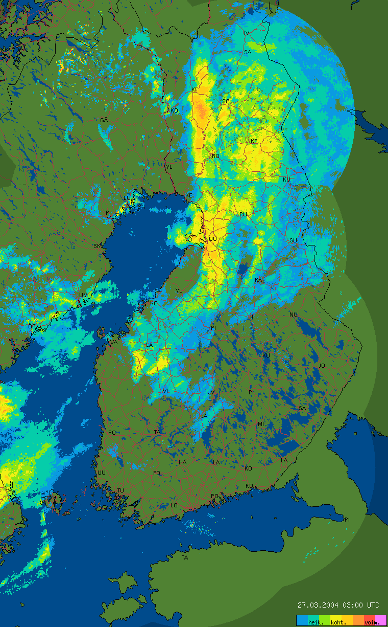
Beam propagation changes. Vertical
profiles of temperature, pressure and humidity affect radar beam
propagation, especially when there is low elevation angle at the radar
site. Actually, normal propagation conditions are dominant but there are
also significant seasonal variations in the median and monthly
dispersion of the vertical refrectivity gradient. |
|
Beam blockage.
There are many methods, e. g. the Norwegian one documented in Gjertsen and Dahl (2002),
for the blockage correction. In this method the number of beam traces
are determined using altitude vertical angle, refractivity, atmosferic
pressure, temperature data and data of water vapour partial pressure.
This computed beam trace is used in a distributed model, where each
point is taken in cylindrecal coordinate system, if a point on the
topografic map is higher than a computed one. The pre-calculated beam
closest to the topografic data is used as min measurement height in that
point. |
 |
|
Radar siting.
National radar network consists of many radars located all over the
country. The radar horizon should be unobscured to the extent possible
determined by the local orography. If the surface of the country is
flat, one can avoid blocked sectors and to find the location that is not
far from the optimal location. In the mountaneous regions such locations
are found only on mountain tops. But this location is problematic for
many points considered below. Thus an
unobscured horizon is only one of the things which determine the radar
location. Location at the airport should be avoided, because this
location is not the best one to support the aviation. |
 |
|
Suboptimal compositing algorithms.
There are several different principles of choosing
the data (compositing algorithm). Problems of cartezian product
themselves cause information loss or bias, but it is obvious that
quality indicator fields are necessary when calculating the optimal
values of data from two or more radars. There are principles of data
choosing based on choosing the nearest radar, closest to earth,maximume
and average. All of them have some problems but the worst choise is
connected with average one. In any case to use these principles
information of elevation angles and radar heights should be available.
One possible solution was developed at FMI. It is based on generating so
called seek matrix. This matrix is a kind of pointer table. Every point
gives a lot of information. The advantage of this method is the fastness
of getting information. But it is suitable for supercomputers only,
because of considerable large amount of memory required by matrix and
data. |
|
Availability of polar data.
The problem connected with polar data is access to it. In many radar
networks polar data are the lowest level potensially available. But due
to radical change data's charakteristics, when transforming them to
cartezian grids, many algorithms perform best in polar space. Further
improvement the data quality comes with international exchange of polar
volume data. |
|
Orographic enhancement.
The precipitation process can be enhanced by the seeder-feeder
mechanizm. Convective cells aloft can produce large precipitation
particles, falling through a lower cloud layer, grow at the expense of
the water content at the lower cloud. |
|
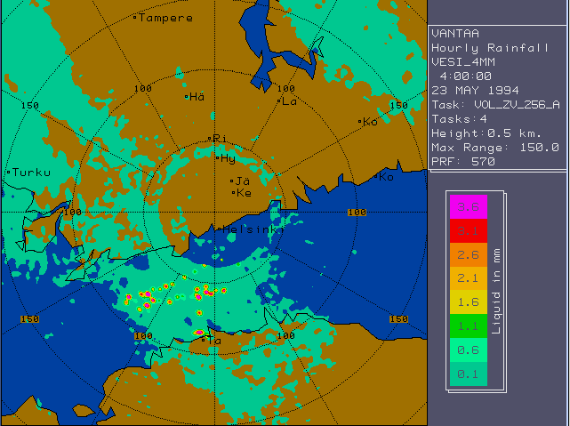
Gauge adjustment.
Gauge adjustment is a solution of problems connected with range
effects, calibration level, and limited extent effects. Gauge adjustment
can be found as a term which helps to describe any procedure according
to which characteristics of radar data are made partial changes such
that they correspond to the quantity given by gauge measurements. |
|
Moderate problems. |
|
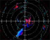
Birds.
Bird flocks look like precipitation on the radar picture, especially
during migration. There are some algorithms that use pattern recognition
or study the doppler spectra. |
 |
|
Overhanging precipitation.
Sometimes precipitation evaporates before hitting the ground. Surface
station data and NWP data can be used to recognize and correct this
fact. Sometimes this operation is the part of the vertical profile
correction. |
 |
|
Overhanging emitters, jumming.
Radar pictures get infected by microwaves coming from other radars
and microwave links. Most of the emitters can be discovered by pattern
recognition from polar data. |
 |
|
Wet radome attenuation.
Microwaves waste on wet radome. Rain attenuation could be reduced by
hydrophobic coating. The attenuation could be estimated by ground
clutter echos, if target is not too far. |
 |
|
Attenuation by ice, sleety, salty or dirty
radome.
Because of the ice or sleet on the radome, strong attenuation may
occur. In this case sufficient heating should be provided to melt the
ice. Dirt on the radome and the effect of the salt do not influence the
attenuation as such. These both effects prevent the water running down
the radome. |
|
Infrastructure: electricity, tower structure.
It is more convinient and usefull to use underground electricity
cabling, because in case of longer power break the radar stops
operating. The tower should always stay erect in spite of wind and
moving platforms (ships and oli rigs). So there are always some
software solutions or tower structure is sturdy enough. |
 |
|
Water phase.
Radar reflectivity depends on diameter and dielectricity of the
particles. To derive the equations Z(R) (rain) and Z(S) (snow), the
water phase must be known. It is possible to know it from VPR analyses
and external temperature data sources such as NWP, soundings, weather
stations and dual polarization radars. |
|
Miscalibration.
Miscalibration influense compositing and produces biases in the
rainfall rate estimates. It is difficult to correct precipitation
attenuation because of it. An overestimate of Z produces an
exponentially increasing error. |
 |
|
Pointing error (elevation).
Antenna of pointing error in elevation affects the H of the
measurements and the last one is important for the vertical profile
correction. This effect is great at low elevations. Regular technical
service of antenna system is essential to decrease antenna pointing
problem. |
|
Z(R,S) equation.
Conversion from radar reflectivity to rainfall or snowfall rate
depend on drop size distribution. Rough assumptions are used. |
|
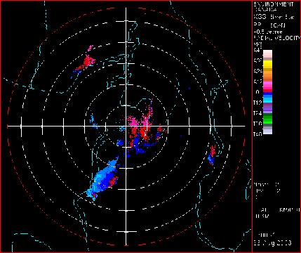
Ships.
Doppler filter is useless, when sidelobes hit the ship, because of
ship moving. Ships and their sidelobe echos can be detected and removed
using pattern recognition methods to polar data. |
 |
|
Scan strategy.
For good quality, many samples, working together, are needed, but for
nowcasting frequent updates are prefered. |
|
Second trips.
Second trip echos appear much weaker than real echos. Problem exists
when PRF is big (thus rmax is small), and strong reflectivities appear
high in the troposphere. SQI threshold removes second trip echos,
because they are
incoherent, but in this case we can lose valuable information. |
|
|
Minor problems. |
|
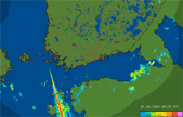
Sidelobes.
Secondary maxima of radar beam is called sidelobes. Echos caused by
sidelobes are seen in wrong directions. Typically sidelobes are much
weaker than the main one. So the problem exist if only it is very strong
echo (hail, ship, ground clutter). |
 |
|
Chaff.
Chaff is frequently released by military aircraft during exersices.
On the radar display it is usually seen as narrow bands of high
reflectivity. Sometimes these chaff echoes may have a distance for
hundreds of km. The width of the bands depends on the range from the
radar and the amount of diffusion time. |
 |
|
Windmills.
Windmills cause partial beam blockage. The last in its turn cause a
reduction in the quality of the surface precipitation estimates. The
beam blockage can be estimated by considering the ratio of the
intercepting area of the windmill and the local area of the radar beam. |
|
Dry radome attenuation.
Values given by manyfactures are very small. But there is very little
knowledge of aging radomes. Coating and washing have been tried. |
|
Attenuation by gases.
The gas attenuation depends only on the wavelength. It is assumed to
be constant. A considerable attenuation should be paid to use literature values: they are
different at different books. |
|
Attenuation by clouds.
Attenuation through ice clouds is typically ignored, attenuation
through thin water clouds is typically neglected. Attenuation through As
clouds is considered as attenuation by precipitation. |
|
Insects.
Insects disperse microwaves. Insect echoes couldn't be removed by the
Doppler filter because of their moving with wind. But they can be useful
as they provide Doppler wind soundings from clear air boundary layer. |
 |
|
Sun Radar receives 5 cm microwaves from the sun. They are seen
mostly when the sun is near the horizon. Thus the problem is worse in
Scandinavia than elsewhere. |
 |
|
Specular reflections (neighbours).
Specular reflections may be caused by radiowaves reflected by water
surface or windows/buildings. Reflected radiowaves direction is
determined by incidience angle. Specular reflections may cause problems
for both reflectivity and velocity measurments as the direction of the
radar beam is changed. |
 |
|
Forest fires, volcanic ash.
Volcanic ash has different dielectric characteristics from liquid
water and ice. But large ash and soot can be detected by weather radars. |
 |
|
Bragg scattering from clear air.
Bragg scattering is the phenomenon of sharp inhomogenities in the
refrective index of the atmosphere. This is most important for the
radars of longer wavelength, especially those which are vertically
pointed. The turbulence is responsible for producing the large-scale
refractive index gradients which result in return of incident radar
power. |
 |
|
Clouds.
Non-precipitating water clouds can't be detected at all or only
rarely sensitive radars at very short ranges, because they give very
weak echoes. Ice clouds are usually detected as their reflectivities
are closed to 0 dBZ. Altostratus "clouds" are frequent, widespread and relatively
intensive problem compared to the other clouds. |
 |
|
Flare echo.
Flare echo is caused by the reflection of large hail in the mid
levels of the storm. Radar scatters radiation toward the ground, after
that it scatters back to hydrometeors, which then scatter some of the
radiation back to the radar. |
|
This page was created as summer exercise of St. Petersburg
University.
Text by Tatjana Jermakova and Viktorija Terehova based on
contributions of Baltrad team.
Images:
- FMI, Finland
- Environment Canada, Canada
- SMHI, Sweden
- DWD, Germany
- met.no, Norway
|